 ru
ru  est
est  eng
eng 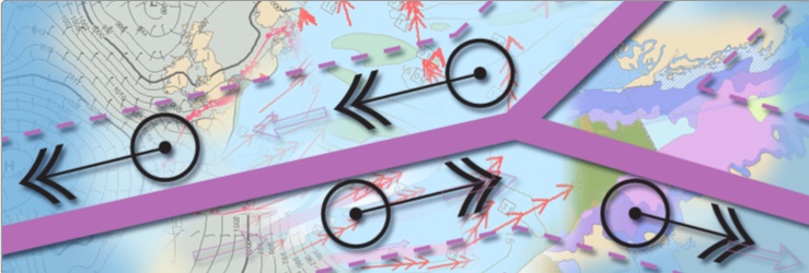
Marine planning software
Combining Navigational charts, weather information and automatic route planning
Jeppesen OceanView™ is a powerful planning system that combines nautical and environmental information for the best marine operational decision support.
Primarily designed for installation at companies such as ship owners, ship brokers, ship managers and ship operators, but also suitable as an onboard voyage planning system.
OceanView is based on world-class Jeppesen Professional+ and official ENC chart databases, state-of-the-art weather information and piracy incident reports.
Highlights
- Integrating charts and weather
- Astronomical water level and current
- Tropical cyclone warnings
- Easy downloading of wind and wave forecast
- Ability to distribute or share the chart and weather information
- Always up to date
- Support HTTP (Internet) and email
- Free 30-day trial
- Tracking vessels using AIS
- Improved Weather Service
- Tidal Streams and Heights
- Support for Lloyds Fairplay Ports Database
- Improved C-Routes function (automatic route planning)
- ECA (Emission Control Areas) as a new layer, allowing for easier compliance with SEEMP
Combine OceanView and the ECDIS
The combination of OceanView in the office environment and a CM-93/3 based ECS or ECDIS provides unique features to ship operators. One important factor is the ability to exchange vital information between vessels and the office, for example importing and exporting route plans. When subscribing to the IMO’s Search & Rescue service (SAR), the ECS on board can immediately alert the mariner when the vessel approaches a new SAR area. This function is now mandatory on the passenger vessel.
OceanView in practical use
The daily operation of a vessel creates several challenges, many of which must be resolved on the spot and may involve several persons located at different places. OceanView, with its data exchange features, gives you a clear, at-a-glance overview of any situation. When using a wall screen, a group can study the same subject simultaneously.
The IMO regulations for emergency readiness require a portfolio of charts corresponding to the vessels voyage is present in the office. With OceanView and Jeppesen Professional+ chart database worldwide subscription, you’ll always have charts you need at your fingertips. OceanView™ also has a unique screen-printing function.
Remote Automatic Updating
Updating information such as Notices to Mariners and piracy is done with the click of a button. Accessed through a limited Internet connection or via email, the highly compressed data contains all necessary information to load updates directly into the main database with no additional user intervention required.
Facts and Specifications
- Global Met-Ocean Parameters Pressure, wind, temperature, dew point, temperature, clouds, precipitation, height, direction and period of total waves and swell
- Additional Parameters Current, sea water level, water temperature, ice concentration
- Tropical Cyclone Warnings Official warnings from The World Meteorological Organisation as overlay and used in route planner.
- Subscription Areas World, large (6400 sq. degrees), medium (400 sq. degrees). The download area can be moved (follow ship) globally without restrictions